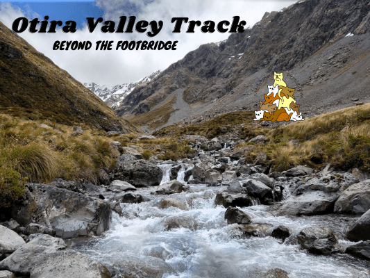
Otira Valley Track follows a deep alpine valley under the northern flank of Mount Rolleston to the Otira River footbridge. Beyond the footbridge is an unmarked route that continues further up to the dead end of the valley, where it’s possible for experienced mountaineers with route-finding skills to climb up to the peak of Mount Rolleston if the condition is right.
Note: Dangerous avalanches may cross the Otira Valley Track from May to November. Do check the avalanche advisory site or with the visitor center before using this track during these months.
Otira Valley Track Car Park & Trailhead
1.11pm: Otira Valley Track starts at the small car park right beside the state highway.
(+4)1.15pm: The track climbs over an old glacial moraine, then follows along the left (or true right) of Otira River through subalpine scrub and tussock into the valley.
(+29)1.46pm: Fed by melting snow, the Otira River flows down from the end of the valley.
(+2)1.48pm: Arriving at the Otira River footbridge marks the end of Otira Valley Track.
As mentioned before, the path beyond the footbridge is an unmarked route that ventures deeper into the valley.
Beyond Otira River Footbridge
While it is said that map-reading and route-finding skills are essential, the route is generally not too challenging to navigate as the valley actually serves as a straightforward guide for the general directions. The more essential skill here is to spot the faint paths through the rocks and rubbles that are more stable, safest and easiest to walk on.
Can you see the faint “path” through the scree slopes? You could also see similar “path” on big rocks trails but they’re less obvious, too faint to capture on camera.
(+16)2.04pm: For some parts the river gets narrower but the sides get steeper, so you would need to climb a little higher further away from the river to navigate safely.
(+3)2.07pm
(+1)2.08pm: The ice cold meltwater of Otira River.
(+3)2.11pm
Some small waterfalls flowing down the steep mountain faces along the valley.
(+5)2.16pm: Towards the end of the valley.
(+13)2.29pm: The end of the valley was still pretty snow-covered in mid spring. Experienced and well equipped climbers with route-finding and map-reading skills may attempt to summit Mount Rolleston from here.
The spectacular view on the way back to the footbridge.
(+35)3.04pm: Back to Otira River footbridge.
(+33)3.37pm: Back to the car park.
帖子有帮到您吗?在您的登山故事和帖子中标记 @meowtainpeople 吧!
*地球队长经过* 记住,请保护我们的环境,请勿破坏大自然。不要留下任何垃圾,只带回照片和回忆(如果可以的话,还可以捡走一些垃圾)。请在指定的路径上行走,并尽量保持在中间行走,以使裸露的土壤不会进一步扩散/腐蚀。与大自然融为一体吧 *飞走了*
支持本网站的附属链接:
透明度万岁!:以上链接是会员链接,如果您用此链接购买或预订的话,我可以赚取佣金, 而你也不会被收取额外费用。 我只推荐我使用的产品和公司。您的支持可以帮助我保持网站的运行,让我继续用心分享🙂
想在您的网站进行相同的联属网络营销吗?用这个 AccessTrade 平台链接 获取 RM5 奖励。

