Arthur’s Pass National Park Hiking Trails
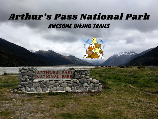
Being the heart of New Zealand’s Southern Alps, it is no doubt that Arthur’s Pass National Park is the top destination for avid alpine hikers and mountain climbers. With its high avalanche-prone mountains, steep gorges and wide braided rivers, the rugged yet beautiful backcountry landscape is a challenging playground for even the most experienced people. Most trips require alpine experience, route-finding and river-crossing skills.
The remote Arthur’s Pass Village acts as the base for mountaineers to resupply and recover before the next adventure in the national park. While there are limited options for people with little or no tramping experience, one can still enjoy the serenity of the village and walk the relaxing tracks nearby, such as the Devils Punchbowl Walking Track and Arthur’s Pass Walking Track. Skiing is also popular during ski seasons and there are several ski fields and limitless off-piste spots around Arthur’s Pass.
Between my hiking journeys at Arthur’s Pass National Park, I stayed at Mountain House, a comfortable backpackers lodge with a friendly vibe in Arthur’s Pass Village.
Take a stroll around Arthur’s Pass Village and you’ll be sure to meet some cheeky keas. These are smart but critically endangered alpine parrots and their presence is one of the main highlights of Arthur’s Pass. P.s.: Please do not feed the keas. Drive slowly on the road as keas like to walk on the highway around the village due to human activities. There had been tragic incidents of keas being run-over and killed by speeding cars passing through the village.
Enough of the introduction, let’s get into some amazing hiking trails you can do in Arthur’s Pass National Park:
Devils Punchbowl Falls Walking Track (Easy)
Well sign-posted starting point of multiple tracks before the first bridge over Bealey River.
Devil’s Punchbowl Falls can be seen from the starting point.
The second bridge crosses Devils Punchbowl Creek with another view of the powerful waterfall.
Climb 150 meters up a series of steps through lush beech forest.
At the end of the walking track is a viewing platform at the base of Devils Punchbowl Falls. This walk took around 20 minutes.
Arthur’s Pass Walking Track (Easy)
Back to the starting point is another track called Arthur’s Pass Walking Track that stretches from Arthur’s Pass Village to Arthur’s Pass Lookout / Arthur Dudley Dobson Memorial.
Lush forest the most part until past Temple Basin car park.
Bridal Veil Falls lookout.
The Bridal Veil Falls creek.
Arthur Dudley Dobson Memorial
Arthur’s Pass Lookout
Temple Basin Track (Easy-Moderate)
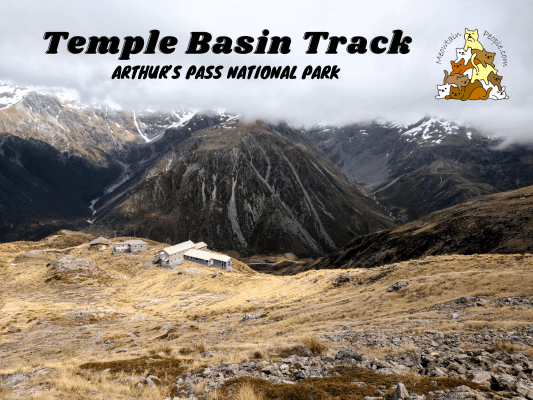
If you walk the length of Arthur’s Pass Walking Track, you’ll pass by the starting point of Temple Basin Track. It is a 2.1km, 1.5 hours (one way) track that provides an eye-satisfying galore of expansive mountain views. If you’re an experienced and well-equipped climber, you could greatly increase the challenge by attempting to summit Mt Temple.
Otira Valley Track (Easy-Moderate)
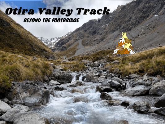
Otira Valley Track follows a deep alpine valley under the northern flank of Mount Rolleston to the Otira River footbridge. Beyond the footbridge is an unmarked route that continues further up to the dead end of the valley, where it’s possible for experienced mountaineers with route-finding skills to climb up to the peak of Mount Rolleston if the condition is right.
Note: Dangerous avalanches may cross the Otira Valley Track from May to November. Do check the avalanche advisory site or with the visitor center before using this track during these months.
Avalanche Peak Summit Track (Moderate)
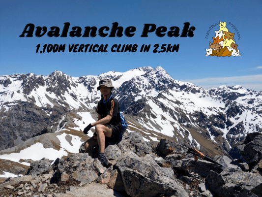
Avalanche Peak in Arthur’s Pass National Park is one of the top hiking spots for hikers traveling to Arthur’s Pass. This mountain-top trip grants you the breathtaking panoramic views of the surrounding Southern Alps on a fine day. With 1,100 meters of elevation gain in just 2.5 kilometers to the peak, do expect heaps of constant steep climbs to the top for the satisfying reward. Some experienced trampers will also continue their trip from the peak to other advanced routes, such as to Crow Hut or Mount Bealey peak.
Carroll Hut Track (Moderate)
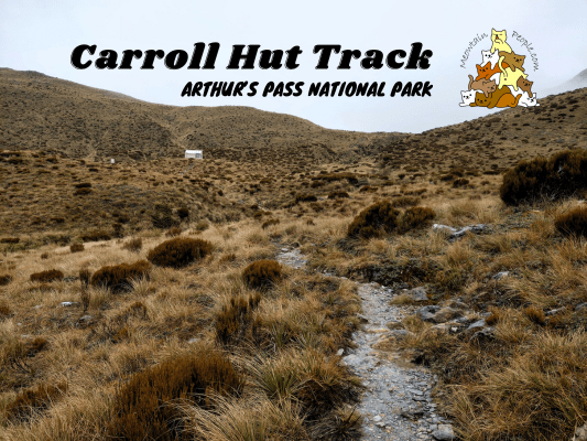
Carroll Hut Track is a 2.5km+ (one-way) hiking trail that climbs steeply to the scenic Carroll Hut. The DoC hut sits on the West Coast’s mountain range with awesome views. The Carroll Hut Track takes around 2-3 hours one way, and can be done as either an in-and-out day hike, or an overnight trip staying in the hut.
Barker Hut Route (Hard)
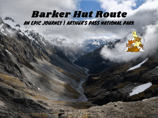
If I had to select one, the Barker Hut Route would be my most epic adventure in New Zealand! Sitting on the top of a large bluff far from civilization, surrounded by gigantic ranges of mountains and a steep valley down the White River, getting to the epic Barker Hut is not an easy feat to achieve.
It is a full-on route with some markers and minimally formed tracks. And there will be a lot of river crossings where there are no specified routes but ones you need to decide where to cross safely and efficiently. For this journey, you need to study the map, use a compass, and have very good navigation and route-finding skills.
帖子有帮到您吗?在您的登山故事和帖子中标记 @meowtainpeople 吧!
*地球队长经过* 记住,请保护我们的环境,请勿破坏大自然。不要留下任何垃圾,只带回照片和回忆(如果可以的话,还可以捡走一些垃圾)。请在指定的路径上行走,并尽量保持在中间行走,以使裸露的土壤不会进一步扩散/腐蚀。与大自然融为一体吧 *飞走了*
支持本网站的附属链接:
透明度万岁!:以上链接是会员链接,如果您用此链接购买或预订的话,我可以赚取佣金, 而你也不会被收取额外费用。 我只推荐我使用的产品和公司。您的支持可以帮助我保持网站的运行,让我继续用心分享🙂
想在您的网站进行相同的联属网络营销吗?用这个 AccessTrade 平台链接 获取 RM5 奖励。

