
Bukit Bongol is a beautiful yet not too popular hiking place, located in Kota Belud. Its main attraction is the hilly and grassy terrains on the top, with great panorama views to see very far away.
Hiking Trails To Bukit Bongol
There are currently three trail options to get to the peak of Bukit Bongol. The most popular is the Mandap-Dohubang Trail, which is the shortest (2.5km) but steepest trail. It would take around an hour to reach the peaks. I love this trail as it is foresty and shaded until you reach the upper half section. Do wear shoes with good grip as the path is steep and slippery.
Pirasan Trail is the longest (almost 4km) but also the easiest / least steep path. This is also the hottest trail, as there is almost no shaded area for the whole 2.5 hours hike. This trail probably has the least hikers, as the entrance was overgrown with tall grass.
If you are looking for a balance between the above two trails, Kinasabaran Trail (3km) is the one. It is less steep than Mandap Trail and shorter than Pirasan Trail. The trail here is also rather hot as it is less shaded than Mandap Trail.
Climbing Bukit Bongol via Mandap Trail
This was the very first stop of my Trip Around Sabah By Bike.
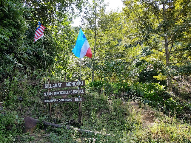
The starting point of Mandap-Dohubang Trail.

The trail starts steep right away.

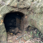
I spotted several piles of animal droppings. Anyone knows what animal poop are these?

Arrived at D’Lugas Trail after 20 minutes.

Continuous steep climb.


10 minutes later, the trees cleared up near Poturidong Trail.

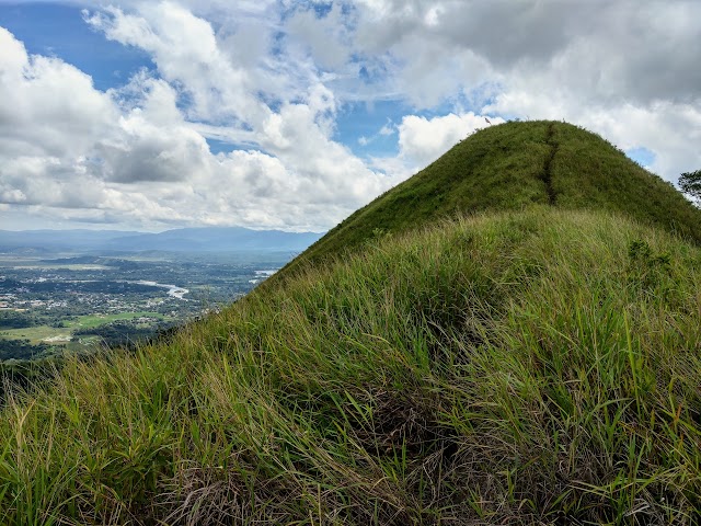
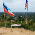
A nice view on the way to the top.

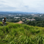
Heading towards the hill at the front.

Reached Kodompulan Trail at 50 minute mark.
Continue climbing towards the hills.
Minonggui Hill & Other Peaks

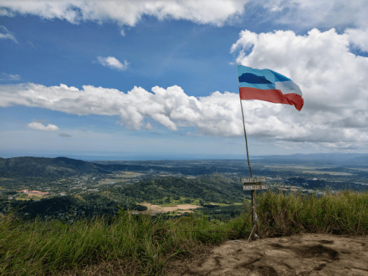
After a total of one hour of hiking, I reached the peak of Minonggui Hill.

There is also a slightly lower hill, just a short walk to the North.

Minonggui Hill is not the highest peak here. The highest one is at the East side.
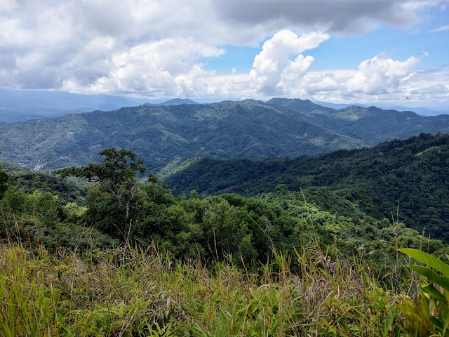
It took me 10 minutes walking down and up again to the highest hill, through overgrown grass almost as tall as me. From here you can see the other side of the hill, which is the mountainous forest.

You can also look back and see the other hills where you just came from.
Things to note:
Unless you have thick skin, you should wear long pants and a shirt with long sleeves, as you will have to brush through a lot of tall grass overgrowing from the sides. You won’t want to get those micro itchy cuts around your hands and legs.
Have this guide helped you? Tag @meowtainpeople in your hiking stories & posts!
Affiliate Links to support this site:
Yay for transparency!: The links above are affiliate links, and at no additional cost to you, I earn a commission if you make a booking/purchase after clicking the links. I recommend only products and companies I use. Your support helps me keep the site going 🙂
Want to do the same affiliate marketing with your site? Use this AccessTrade platform link to receive RM5 reward.

*Captain Planet passing by* Remember, please take care of our environment, and please don’t destroy the Nature. Leave no trash behind and take back only photos and memories (and also some trash if you can). Walk on the designated path and stay in the middle as much as you can, so that the exposed soil doesn’t spread/corrode further. BE ONE WITH NATURE *flies away*