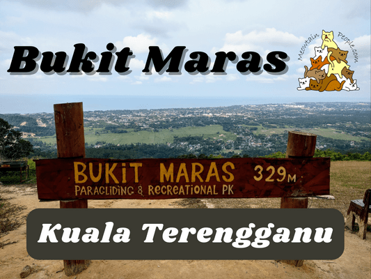
The area around Bukit Maras in Kuala Terengganu is a hiking site with four different hills in its vicinity. Bukit Maras is the highest among the four and its peak is also a paragliding take off site. During my trip, I have only used the main 4×4 road up and down the peak of Bukit Maras due to time constraints. If you like more jungle trails, there is actually a forest trail loop called ‘Trans 4 Puncak Bukit Maras’, which takes you to the four peaks through the forest trails. What I missed out on are some of the nice trees and big rocks sceneries in the forest trails.
Guide and permit are not required but if you like to go through the forest trails, it is recommended to have someone who knows the path with you. Fortunately, Bukit Maras Hiking Club usually has hiking events here on Saturdays or during public holidays, which you could tag along or ask them for a guide.
If you are interested in paragliding at Bukit Maras, you may reach out to this facebook page.
Bukit Maras Starting Point & Parking
Here is the starting point of Bukit Maras climb. There are some free parking spots there.
About 200 meters before reaching the entrance, there is an additional parking spot with RM1/RM2 fee (I forgot the exact fee) if the place is crowded on weekends.
Trail map of Bukit Maras, which shows only the main 4×4 trail but not the forest trails.
4.26pm: Start of the uphill climb via 4×4 road.
(+2)4.28pm: It’s a long way up the slippery dirt slope.
(+3)4.31pm: A mini stall with some mannequins that could scare someone at night.
This 4×4 trail reminds me of the Bukit Batu Pahat via Taman Tasik Milenuim’s trail. But instead of a continuous steep uphill, Bukit Maras one at least has some flat paths in between to recover your stamina before the next steep climb. Bukit Maras’ 4×4 trail, however, was more slippery due to the loose sandy grains.
(+3)4.34pm: A subtrail to Batu Kajang rock formation. I did not go there as my focus was the peak, and a thunderstorm was coming so I didn’t visit it on the way back.
(+2)4.36pm: There are multiple junctions and split paths on the way, just take the main path to go straight up to the peak.
(+13)4.49pm: A signboard telling you it’s the last stretch of 120 meters to the peak.
(+5)4.54pm: Finally, reaching the peak of Bukit Maras.
Now, look back and be surprised with the view behind you!
Bukit Maras Peak
The panoramic view from the peak of Bukit Maras, 329 meters above sea level.
The coastline on the left.
A mini watchtower and the view from it.
The trans-loop to Bukit Gaung, a part of the ‘Trans 4 Puncak Bukit Maras’.
Another forest trail to Batu Biruk.
I quickly headed back down as a thunderstorm was approaching. The 4×4 road was very slippery, hence tricky to walk down. The “ditches” at the side become the better path to walk slowly to avoid slipping my way down. It took me about 30 minutes up and 35 minutes down.
After coming back down safely, I headed to the famous Warung Pok Nong nearby for their fried squid and keropok lekor.
Have this guide helped you? Tag @meowtainpeople in your hiking stories & posts!
*Captain Planet passing by* Remember, please take care of our environment, and please don’t destroy the Nature. Leave no trash behind and take back only photos and memories (and also some trash if you can). Walk on the designated path and stay in the middle as much as you can, so that the exposed soil doesn’t spread/corrode further. BE ONE WITH NATURE *flies away*
Affiliate Links to support this site:
Yay for transparency!: The links above are affiliate links, and at no additional cost to you, I earn a commission if you make a booking/purchase after clicking the links. I recommend only products and companies I use. Your support helps me keep the site going 🙂
Want to do the same affiliate marketing with your site? Use this AccessTrade platform link to receive RM5 reward.


