
9km & 825m: Bukit Putus -> Gunung Angsi Peak -> Ulu Bendul
Gunung Angsi is probably the second most popular mountain in Negeri Sembilan, if Gunung Datuk takes the first spot. Mount Angsi is an easy to moderate hike suitable for casual hikers and fit beginners, that is if you take the Bukit Putus route. The least popular Ulu Bendul route is certainly more difficult than the crowd’s favorite Bukit Putus route.
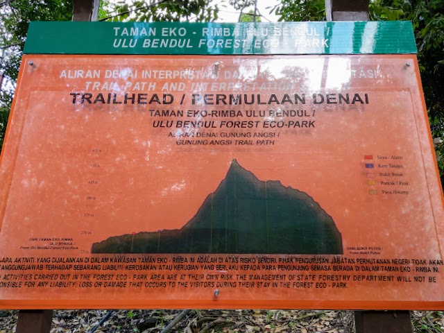
From the graph, we went from the right (enter via Bukit Putus trailhead) to the left (exit via Ulu Bendul trailhead). As you can see, the Bukit Putus trail looks tough but it ascents steadily. If you hike from Ulu Bendul, the last ⅓ will be a continuous steep ascent. We thought we could quickly finish the steep descent and enjoy the flat path out to Ulu Bendul, that wasn’t the case…
Detailed Walkthrough
Gunung Angsi via Bukit Putus
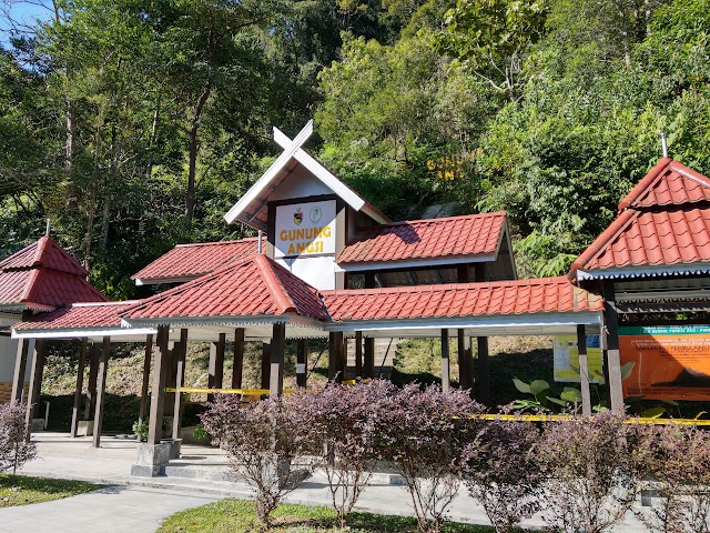
Entrance & Fee
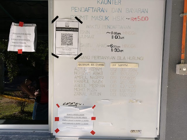
Counter Registration Time: 8am-11am on weekdays, 6am-11am on weekends and public holidays. (This was during the Recovery Movement Control Order, normal time may vary). Permit fee is RM5 (a must before entering the forest reserve).
Starting hike
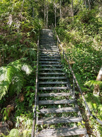
The trail starts with a couple of staircases

And then a little climb.
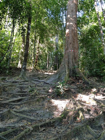
Constant uphill with a very wide and obvious path. There were many arrows to guide you so it’s hard to get lost.

A hollow old shell of a bug.

Within 20-30 minutes, there’s this hut.

After that, the path seemed relatively flat for a while.

Within 6-8 minutes, reaching a rest area with a ‘reservoir view’ sign.
A little nice view over the trees

Saw this sign board to the waterfall trail but the path was intentionally blocked with tapes.

We proceed to follow the main path to Gunung Angsi.
We encountered three rest areas 15-20 minutes apart.
‘Swamp’ area
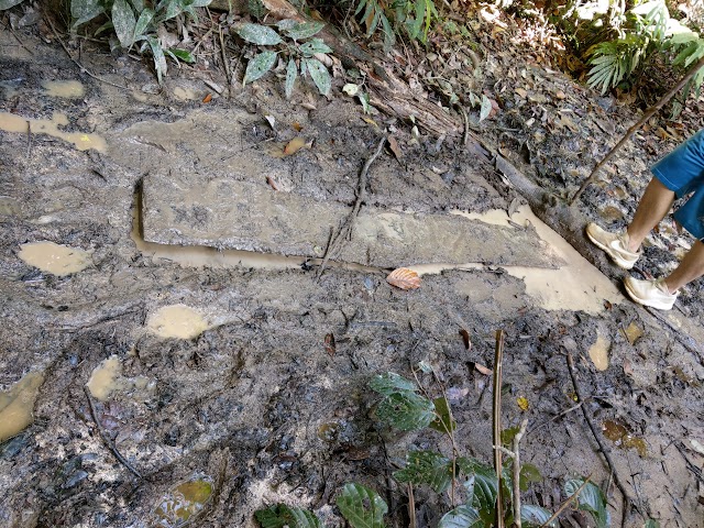
Five minutes away from the last rest area, we entered the ‘swamp’ area (as marked in the mountain graph from the entrance above). There were some planks and chopped logs along the path for us to step on to avoid stepping into the mud.
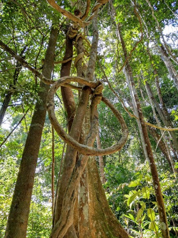
Thick vine looped itself.
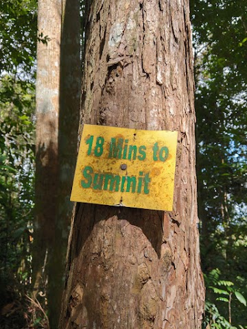
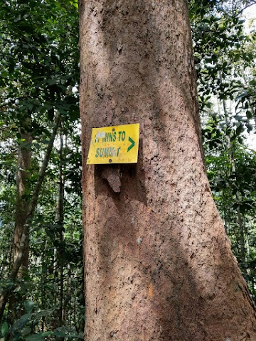
After 20 minutes, we saw this sign board ‘18 Mins to Summit’
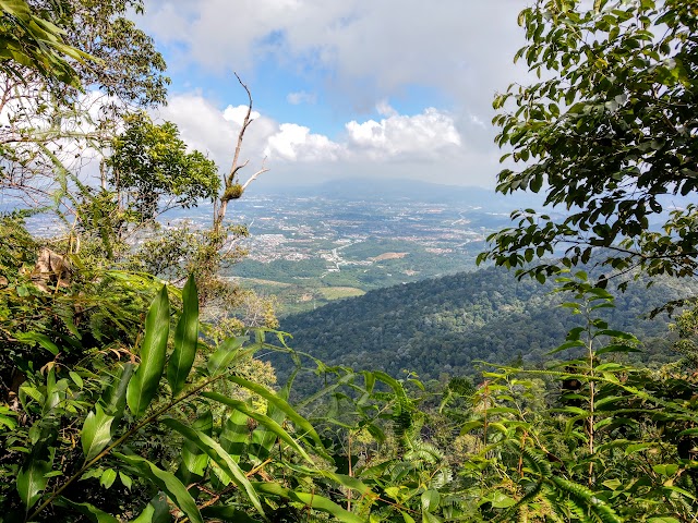
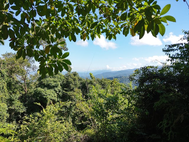
A couple of minutes later, there’s this pretty nice viewpoint.

Last stretch of uphill to push on. If you’re lucky, you may find a cool specific spot where the wind blows through the path from the mountain side.
Gunung Angsi Peak

It takes about 1.5 to 2 hours to reach the peak.
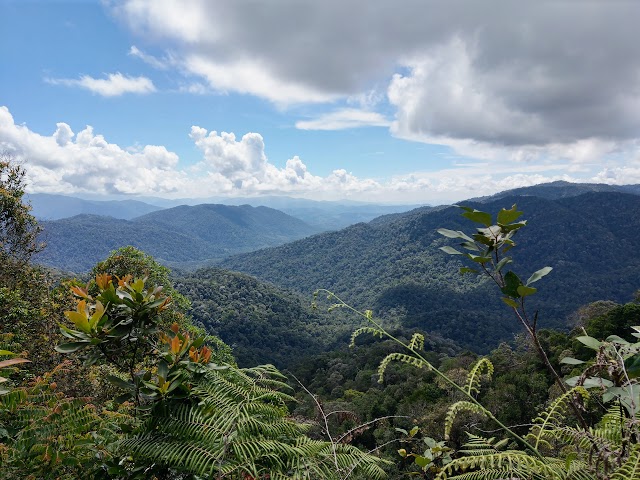
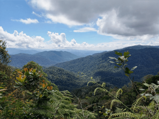
Beautiful mountainous view from the peak.
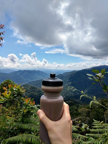
Chocolate drink tastes better on a mountain peak.


There were quite a few butterflies and bees flying around. Some might like to stick around you.
Descent Gunung Angsi via Ulu Bendul trail
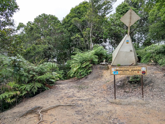
The trail down to Ulu Bendul starts at the left side of this pyramid thingy.

While the trail was quite clear and it’s difficult to get lost, you can use the ViewRanger app to check the route. Although there was no track record for Ulu Bendul trail, there’s already a clear accurate pathline in the map here.

Continuous steep descent

You’ve heard of false peaks, what about false flats? We thought we had completed the steep descent.
Saw this sign pointing toward Gunung Angsi peak.

Going down through the eroded soil cracks.

Someone with a big belly’s gonna have a tough time squeezing through here.

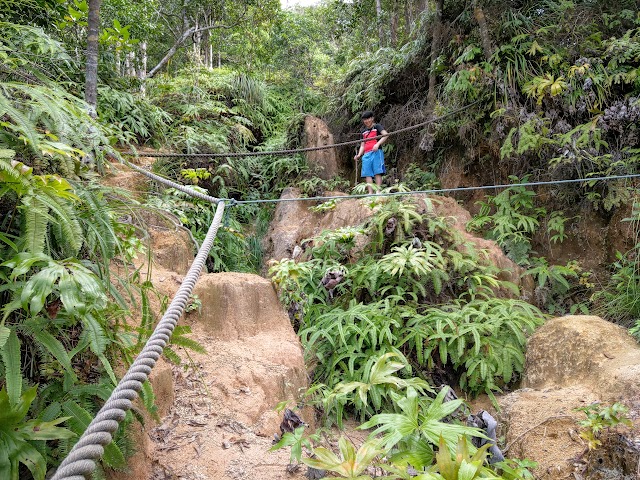
Right after the narrow crack, we had to pass through here.

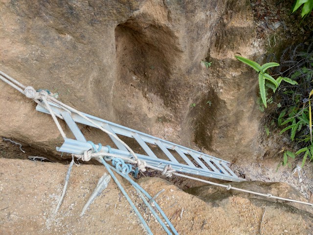
A mini cliff where we had to use the ladder secured with ropes.

We came down from there. This is what you’ll see coming up via Ulu Bendul. The following path to descent continued to be steep.

I spotted a leech waving to us on a piece of fallen leaf.
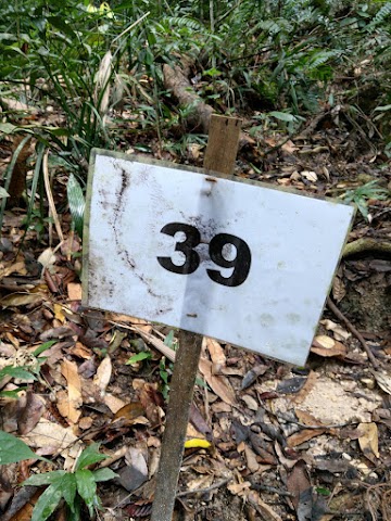

When you see no.39, it’s time to get a little happy. The path gets flatter from here. It took us almost 2 hours to finish the steep descent. Still a long way to go.
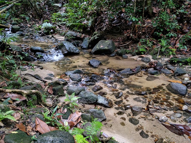
After 20 minutes, the path goes down to a stream.

Cross directly to the opposite to continue the path.

Suddenly, we had to walk through a path heavily covered by ferns. We had to push through and try not to get cuts and scratches.
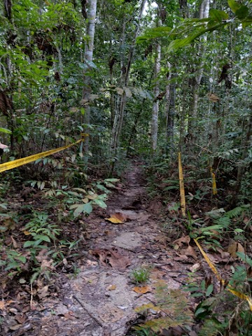
The trail’s back to normal, with tapes blocking some of the sides to prevent hikers straying off the trail and getting lost..
Kem Tangga Batu
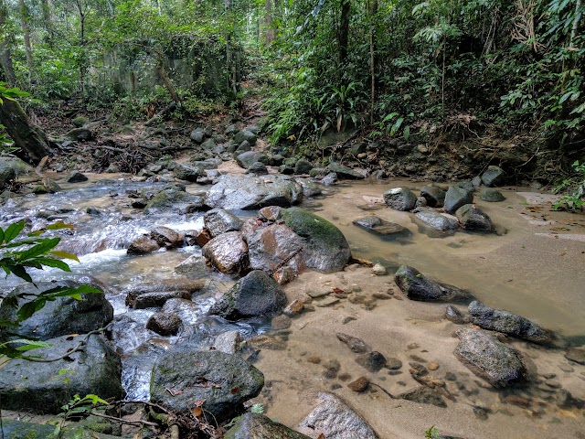
Crossing the river before Kem Tangga Batu (Stone Stairs Camp)

There’s an abandoned partially-built bathroom.

A hut at Kem Tangga Batu.

Kem Tangga Batu stone stairs.

There’s this huge and wide tree trunk (looks small in this photo but it was actually huge).

Had this huge fallen tree block the path, which we almost didn’t manage to climb over.

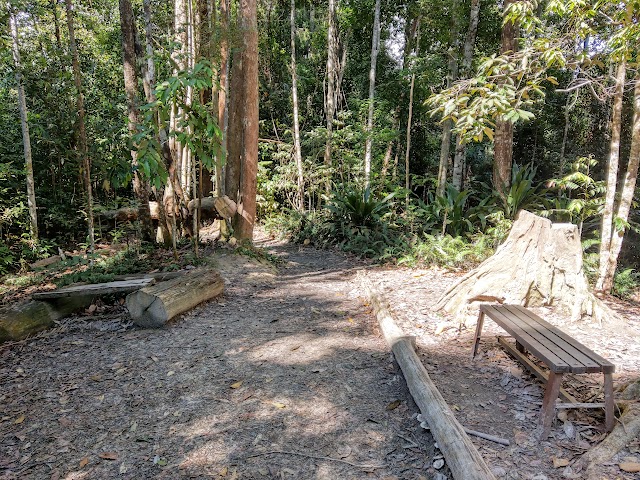
After 45 minutes from Kem Tangga Batu, we reached another hut here.

From here, we followed the trail by the pipes.

Reaching this river, you don’t have to cross it, there’s a trail nearby to continue on.


Reaching this place, also don’t cross the river.

Finally, we exit the trailhead of Ulu Bendul. It took us almost 4 hours coming down from Gunung Angsi peak via Ulu Bendul trail.
Epilogue
The Ulu Bendul trail looked slightly longer than Bukit Putus trail but it definitely felt much farther and tougher when you actually go through it. It’s true that the toughest part of Ulu Bendul trail was the steep path near the peak, but even the flat path has proven to be quite challenging for beginners because it feels like it’s almost endless.
Also, on that day, we found out that the Ulu Bendul trail was actually restricted and not yet open for hikers when we came down from there. Luckily the authorities decided not to escalate the issue (or else we might get serious penalties) as we were not informed about the route restriction at the beginning of the hike via Bukit Putus.
The guards at Ulu Bendul mentioned that they have not received the instruction to open the trail because there were some maintenance works needed, such as clearing the fallen trees and widening some overgrown paths. The trail might be easier to hike after they have done so. And remember, make sure you pay for the permit before entering the forest, check if the Ulu Bendul trail has opened before you use it.
Have this guide helped you? Tag @meowtainpeople in your hiking stories & posts!
Affiliate Links to support this site:
Yay for transparency!: The links above are affiliate links, and at no additional cost to you, I earn a commission if you make a booking/purchase after clicking the links. I recommend only products and companies I use. Your support helps me keep the site going 🙂
Want to do the same affiliate marketing with your site? Use this AccessTrade platform link to receive RM5 reward.

*Captain Planet passing by* Remember, please take care of our environment, and please don’t destroy the Nature. Leave no trash behind and take back only photos and memories (and also some trash if you can). Walk on the designated path and stay in the middle as much as you can, so that the exposed soil doesn’t spread/corrode further. BE ONE WITH NATURE *flies away*